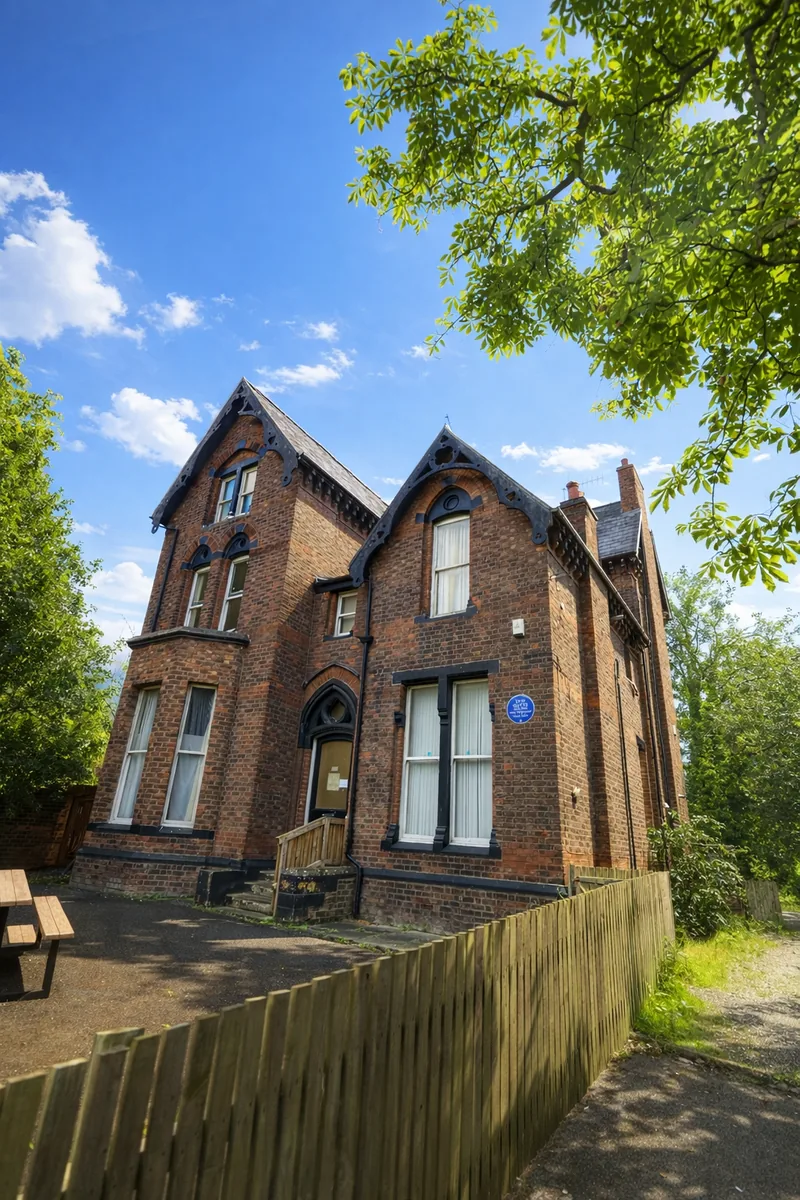
The Brief
The client, an architectural practice in Cheshire, had been instructed to design a sensitive internal alteration and rear extension to a Grade II listed Victorian terrace. Before any design work could begin, they needed accurate existing-conditions drawings of the building and a topographical survey of the curtilage — both required to support the Listed Building Consent application they would be submitting.
The building was a mid-terrace of three storeys — ground, first, and second floor — with a cellar and a rear yard that formed part of the application site. The architecture practice needed floor plans at every level, all external elevations, cross-sections, and a full topographical survey of the rear and front curtilage including levels, boundaries, and a neighbouring structure.
The deadline for delivering drawings to design stage was firm — the client had pre-application discussions already booked with the LPA.
The Challenge
Listed buildings require a higher standard of measured survey than a standard commercial or residential project. Every architectural feature needs to be captured accurately — not just the room dimensions and door positions, but the cornice profiles, chimney stacks, historic window reveals, staircase geometry, and any fabric that is relevant to the consent application. The LPA and, where applicable, Historic England expect drawings that demonstrate a thorough understanding of the building's existing condition and character.
For this project, the additional complexity was the cellar — accessed via a steep original stone stair, low headroom throughout, and damp conditions that required careful equipment management. The client also requested that the rear topographical survey capture the relationship between the listed building, a modern infill extension to the rear, and the shared boundary wall with the neighbouring plot.
What We Did
We attended site with a surveyor and a 3D laser scanner, completing both the measured building survey and the topographical survey in a single day. The building was surveyed floor by floor — cellar, ground, first, and second floors — with all room dimensions, wall thicknesses, ceiling heights, door and window positions and sizes, staircase geometry, and structural and architectural features captured in full. External elevations were measured from all four sides, including the party wall elevations where visible.
The rear yard and front forecourt were topographically surveyed simultaneously, with levels, boundaries, the footprint of the rear infill extension, drainage features, and the boundary wall with the neighbouring plot all recorded. The combined data set was then processed and the following deliverables produced:
- Floor plans at cellar, ground, first, and second floor levels — drawn to 1:50 in AutoCAD (.dwg) and PDF
- Four external elevations — front, rear, and both side returns — at 1:50
- Two cross-sections through the building showing floor-to-ceiling heights at every level
- A topographical survey plan of the rear curtilage and front forecourt, with spot levels and contours
- A combined site plan showing the building, curtilage, and survey extent
The Outcome
Drawings were delivered within six working days of the site visit — on programme with the architectural practice's design timeline. The architect confirmed that the drawings opened cleanly in their CAD environment and that the survey captured all the detail required for the Listed Building Consent drawings, including the cellar geometry that a less thorough survey might have omitted.
The pre-application meeting with the LPA went ahead on schedule. Both the measured building survey and the topographical survey were delivered as a single, coordinated drawing package, which simplified the drawing management for the architectural practice and reduced the number of consultants they needed to manage at the start of the project.
The combination of both surveys in a single site visit also reduced the cost compared to commissioning them separately from two different practices, and eliminated the programme risk of coordinating access twice.
Key Takeaways for Similar Projects
If you are working on a listed building that requires both a measured building survey and a topographical survey, commissioning both in a single engagement from one practice is almost always more efficient. Access only needs to be arranged once, the drawings are produced in a coordinated format from the outset, and the cost is typically lower than two separate instructions.
For Listed Building Consent applications, the quality of the survey drawings matters. We are used to working on listed and historic buildings across the North West, and we capture the level of architectural and fabric detail that those applications require.
Find out more about our measured building survey service or topographical survey service, or get a quote for your project.