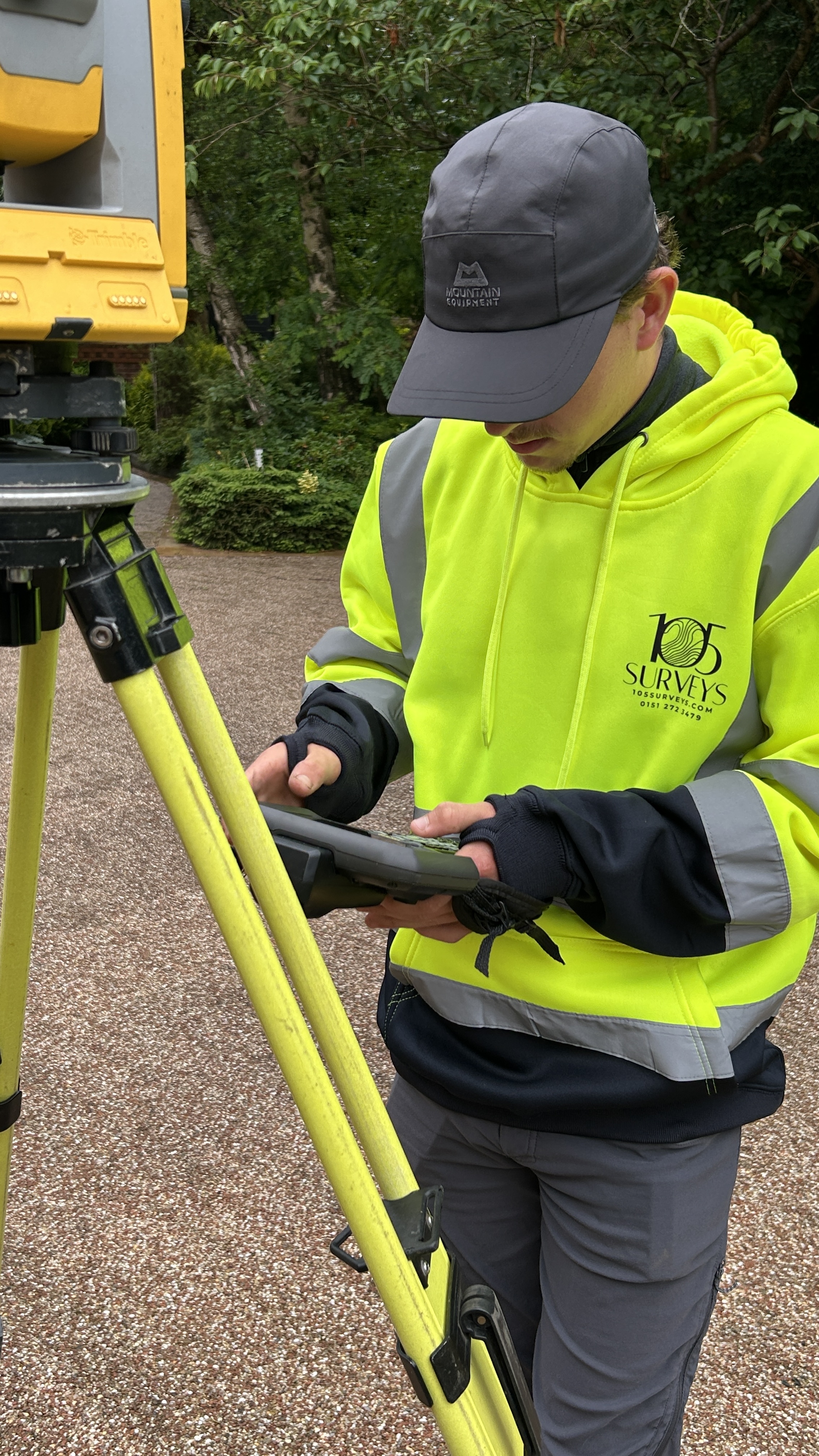
Utility survey GPR ground penetrating radar on development site North West
Utility Surveys | GPR | North West

Utility Surveys Across the North West

Know what is underground before you break ground. GPR utility detection and mapping serving Liverpool, Manchester and the North West.

Get a Quote

Do Not Dig Blind

Underground utilities are one of the most common causes of construction delays, cost overruns and safety incidents on development sites. Before any excavation, groundworks or foundation design begins, you need to know what is buried beneath your site. We deliver utility surveys across the North West using ground penetrating radar (GPR) to detect and map underground services across Liverpool, Manchester, Chester, Wigan, Warrington and the wider region.

Reduce Risk on Site

Utility strikes are one of the leading causes of construction incidents. Knowing what is there before you dig is a safety obligation and a programme essential.

GPR Detection

Ground penetrating radar detects both metallic and non metallic buried services including plastic pipes and concrete ducts that electromagnetic locators alone cannot find.

CAD Deliverables

All detected utilities plotted onto a CAD drawing, colour coded by service type and quality level, ready for your design team to use immediately.

GPR surveyor conducting ground penetrating radar scan on site

A Complete Picture of What Is Below Ground

A utility survey locates and maps the underground services beneath a site including gas pipes, water mains, electricity cables, telecoms, drainage and other buried infrastructure. This data is essential before any excavation, construction or groundworks take place.

Our utility surveys use ground penetrating radar (GPR), a non invasive technology that detects both metallic and non metallic services including plastic pipes, concrete ducts and other buried features. Combined with electromagnetic location, our surveys provide the most comprehensive picture of what is below ground without the need for trial trenches.

  • Gas pipes, water mains, electricity cables and telecoms
  • Drainage systems and below ground infrastructure
  • Non metallic services including plastic and concrete
  • Service depth data where GPR supports estimation
  • All findings plotted onto CAD at correct horizontal positions
Utility CAD Plans PAS 128 Report Service Depth Data Risk Assessment

Anyone Breaking Ground

Developers and Contractors

Before groundworks, foundation excavation or any below ground construction activity on residential or commercial development sites across the North West.

Architects and Engineers

Underground utility data informs drainage design, foundation strategy and services routing. Particularly important on brownfield sites where historical records may be incomplete.

Planning Consultants

Utility survey data supports drainage strategies and infrastructure planning as part of planning applications, particularly for new build and brownfield schemes.

What We Deliver

Utility CAD Plans

Colour coded by service type, showing horizontal positions of all detected utilities.

PAS 128 Survey Report

Full documentation of methodology, detected services and quality levels in line with current utility survey standards.

Service Depth Data

Depth estimation where GPR data supports it, helping your team plan excavation safely.

Risk Assessment

Areas of uncertainty or high risk clearly highlighted so your team can plan accordingly.

GPR Data Records

Raw GPR data available on request for your engineering team or principal contractor.

Combined with Topo

Utility data can be delivered as a combined package with a topographical survey, giving your team a complete above and below ground picture of the site.

Utility Survey FAQ

PAS 128 is the specification for underground utility detection, verification and location. It defines the methodology, accuracy and quality levels required for a compliant utility survey. Many contractors, local authorities and insurers require PAS 128 compliant data before excavation works can proceed.
Ground Penetrating Radar (GPR) is a non invasive survey technique that uses radar pulses to detect objects and features beneath the ground. Unlike electromagnetic locators, GPR can also locate non metallic utilities such as plastic water pipes and concrete drainage ducts. It is used alongside electromagnetic location to provide the most comprehensive picture of underground services.
Yes, and for most development sites combining both is the most efficient approach. A combined topographical and utility survey gives your design team a complete above and below ground picture of the site in a single set of CAD drawings. Get in touch for a combined quote.
We cover the North West of England including Liverpool, Manchester, Salford, Warrington, Wigan, Chester, Preston, Blackburn, Bolton and the wider region. Call 0151 272 3479 or email info@105surveys.com to check availability on your site.

Need a Utility Survey?

Get a quote for your site across Liverpool and the North West. We respond within 24 hours.

Get a Quote