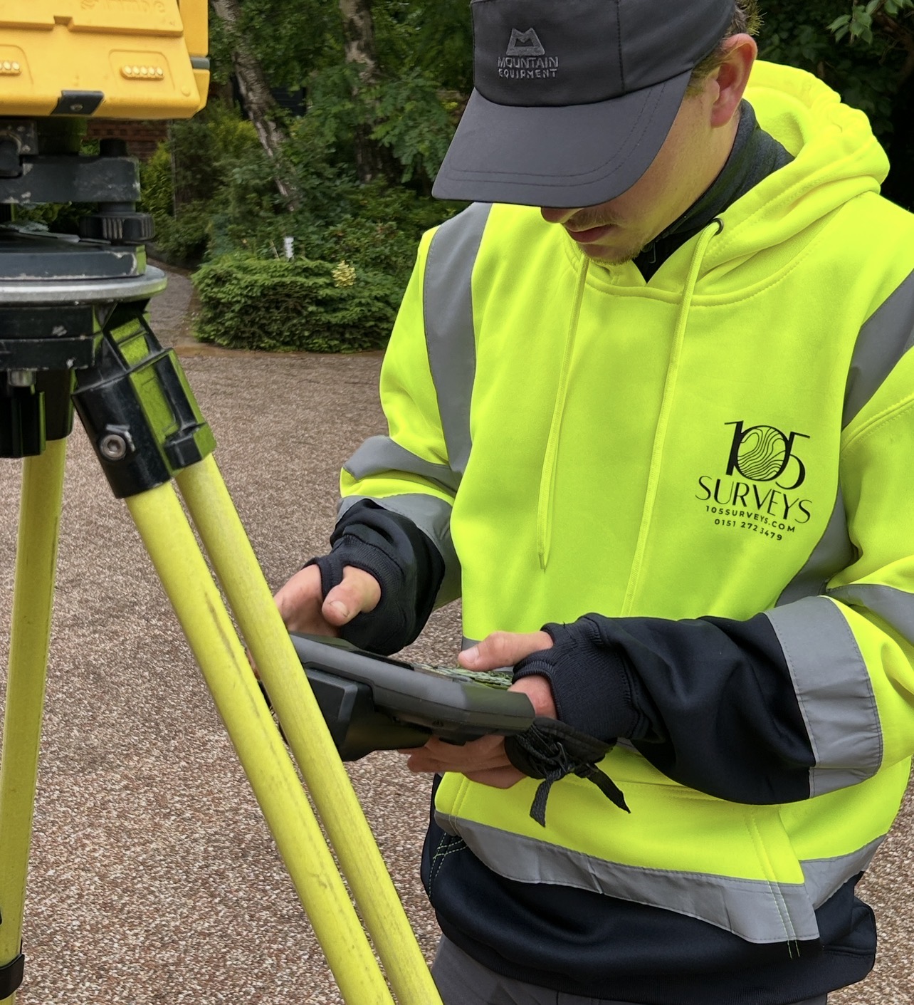
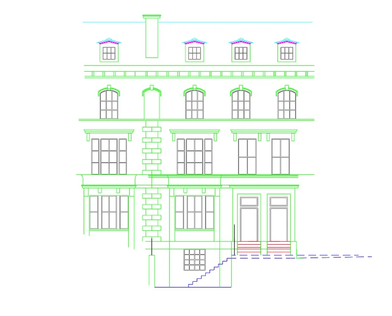
A Measured Building Survey is a precise, scaled record of an existing building. Every wall, floor, ceiling, window, door and structural feature is measured and mapped accurately.
We use laser scanning technology to capture the building in detail, then produce a full set of CAD drawings. These become the base that architects work from when designing extensions, conversions or refurbishments.
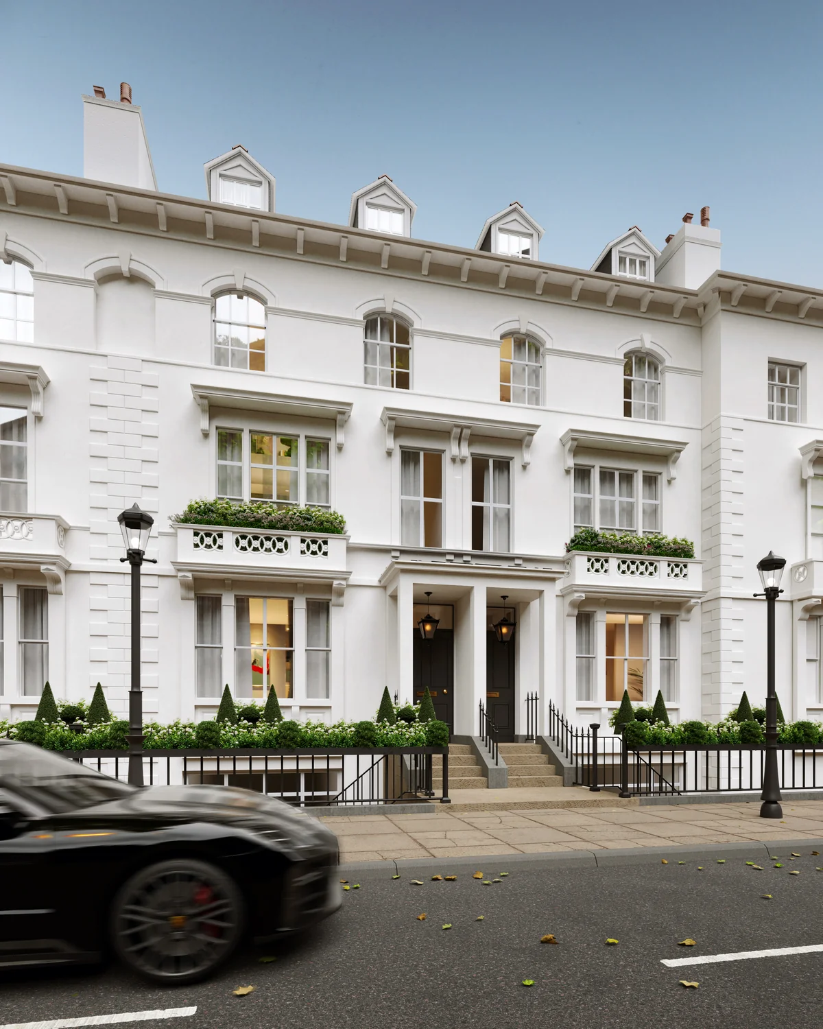
Without accurate existing drawings, any new design is built on guesswork and inaccurate information. If the measurements are even slightly off, problems may occur during planning or after works have begun — which takes time to resolve, delays projects and eats into budgets unnecessarily.
Estate agent floor plans and old building records aren't accurate enough for design or planning work. Our surveys are accurate to within 2 to 5mm, which is the level architects and planning authorities require before any serious work can begin.