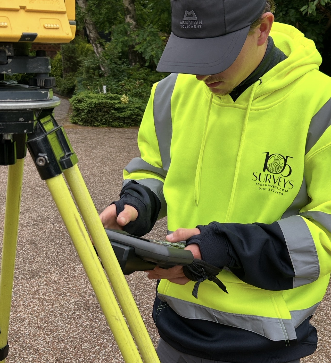
A topographical survey maps everything on and around your land, both natural and man-made. That means buildings, roads, trees, drainage ditches, boundaries, and service covers, as well as the shape of the land itself, its slopes, dips, valleys, and changes in level. Everything is laser-measured and plotted to scale, so what you get is an exact picture of the site in both 2D and 3D.
That data is delivered in CAD format and becomes the foundation every architect, engineer, or planner works from. Before anyone can design anything, they need to know precisely what they are dealing with. A topo survey gives them that, so the project can be designed to work with the land rather than against it.
When would you need a Topo in Planning and Construction
A topographical survey is one of the first things commissioned on most projects. It gives architects, engineers and developers an accurate picture of the land before any design decisions are made, reducing risk and avoiding costly surprises later.
They are used across a wide range of projects, including:
- Residential, commercial and mixed-use developments, including ground floor extensions, new builds and apartment conversions
- Urban planning and zoning assessments
- Highways, rail and utility infrastructure
- Flood risk and drainage design
- Landscape and external works
- Boundary and land ownership investigations
- Environmental and ecological assessments
- Planning applications and building regulation submissions