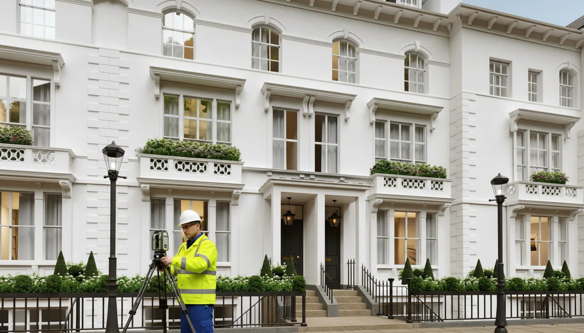
Planning applications for works to existing buildings require accurate existing and proposed drawings. The local planning authority needs to see exactly what is there before the works, and exactly what is proposed — at the correct dimensions and to a stated scale. Drawings that are approximate, inaccurate, or based on assumptions rather than measured data create two problems: they are more likely to attract queries from the LPA, and if the discrepancy is significant enough, they can cause the application to fail validation altogether.
A measured building survey is the foundation that makes planning drawings credible. It provides the existing-conditions data — floor plans, elevations, sections — that both the architect and the planning consultant can work from with confidence.
What Drawings Does a Planning Application Require?
Most householder and full planning applications for alterations to existing buildings require:
- Existing floor plans at every affected level, drawn to an accurate scale
- Proposed floor plans showing the alterations relative to existing
- Existing and proposed elevations of all affected facades
- A block plan or site plan showing the building in its plot context
- For change of use and more complex applications: sections showing floor-to-ceiling heights and the relationship between levels
The existing drawings in your application must accurately reflect the building as it currently stands. Where those existing drawings come from matters — drawings produced from a measured building survey can be trusted; drawings estimated from a site visit, scaled from an old plan, or produced from memory cannot.
What Happens If the Existing Drawings Are Inaccurate?
Local planning authorities have become more attentive to drawing accuracy, particularly for applications in conservation areas and for listed buildings. An existing elevation that does not match the building, floor plans where dimensions conflict, or a site plan that misrepresents the building footprint will attract queries — and may trigger a request to resubmit with corrected drawings. That adds weeks to the application timeline, which in turn delays the project programme and your client's plans.
For planning consultants managing multiple applications simultaneously, a query on one application creates a disproportionate administrative burden. Accurate survey data at the start eliminates that risk.
When Do You Need Both a Measured Building Survey and a Topographical Survey?
Some applications require both. If the project involves not just the building but the site around it — a new access, landscaping, a new structure in the curtilage, or any works that change the external levels — a topographical survey will also be required. The topo captures the site levels, boundaries, and external features that need to appear on the site plan.
Where both are needed, we can often carry out both surveys in a single site visit, which keeps the programme tighter and avoids two separate sets of access arrangements. Read more about the difference between the two.
Listed Buildings and Conservation Areas
For listed buildings and buildings in conservation areas, the standard of existing drawings submitted with a Listed Building Consent or planning application is higher. The LPA and, in some cases, Historic England will scrutinise the drawings carefully. Inaccurate or incomplete survey data undermines confidence in the whole application. A full measured building survey — capturing all relevant architectural features, fabric, and dimensions — is the expected starting point.
How Far in Advance Should You Commission the Survey?
Allow enough time for survey attendance, processing, and delivery before design work begins. For most projects in the North West, 105 Surveys can attend site within a few working days of instruction and delivers within six working days of the site visit — turnaround is confirmed at the point you instruct us, not estimated afterwards.
Commission the survey as soon as the project is confirmed. Waiting until you are ready to start drawing and then discovering the survey programme pushes your application back by two weeks is a straightforward problem to avoid.
Frequently Asked Questions
Do I need a measured building survey for a planning application?
Yes, for any planning application involving alterations to an existing building. The existing drawings submitted to the LPA must accurately reflect the building as it currently stands, which requires a measured building survey.
What drawings does a planning application require?
Most applications require existing and proposed floor plans, elevations, and a site or block plan drawn to scale. For more complex applications, sections are also required. All existing drawings must be based on accurate measured data.
What if I have old drawings of the building?
Old drawings are a reference, not a substitute. Buildings change over time. Submitting planning drawings based on outdated or inaccurate information is one of the most common causes of LPA queries and validation failures on alteration applications.
Do I need both a measured building survey and a topographical survey?
If the application involves works to both the building and the surrounding site — levels, landscaping, new structures — you will need both. We can often carry out both surveys in a single site visit.
How long before my planning submission should I commission the survey?
As soon as the project is confirmed. For most North West projects, 105 Surveys delivers within six working days of the site visit. Commission early to keep the design and application programme on track.