What Is a Measured Building Survey?
A measured building survey records the interior and exterior of an existing building. Every room, wall, window, door, ceiling height, and structural feature is measured and recorded on site. The output is a set of CAD drawings — floor plans at every level, external elevations, cross-sections, and roof plans — that give the architect and engineer an accurate picture of the building as it currently stands.
It is commissioned whenever a project involves an existing building that needs to be accurately recorded before design or planning work can begin — a renovation, extension, conversion, change of use, or alteration to a listed building.
What Is a Topographical Survey?
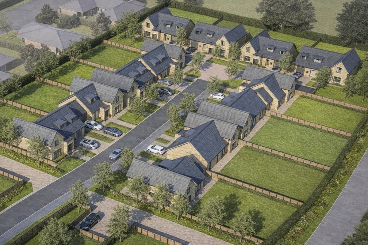
A topographical survey records the land. It captures ground levels across a site, physical features above the surface — trees, fences, walls, kerbs, drainage covers, road levels, adjacent buildings — and site boundaries. The output is a detailed CAD base drawing that gives the design team an accurate picture of the site before any scheme is proposed.
It is commissioned whenever a project involves new development on land — a new build, a scheme on an undeveloped or cleared site, or any situation where the ground conditions and surrounding context need to be understood before design begins.
The Key Distinction
A measured building survey is about the building. A topographical survey is about the land.
If your project involves working on or within an existing building — renovating it, extending it, converting it, applying for planning permission to alter it — you need a measured building survey. If your project involves developing land or designing a scheme that responds to ground levels and site features — a new build, a housing scheme, infrastructure works — you need a topographical survey.
When You Need Both
Some projects require both surveys. A conversion scheme where an existing building sits within a larger site, a building being extended into its grounds, or a heritage property surrounded by land that forms part of the development — in all of these cases, the design team needs an accurate record of both the building and the land.
In most cases, both surveys can be carried out in a single site visit, keeping the programme and cost efficient. The measured building survey records the structure. The topographical survey records the land and site context. Together they give the design team everything they need to start work.
Which One Do You Need?
If you're not sure which survey your project requires, the question to ask is: what is the project primarily about?
- Working on an existing building → measured building survey
- Developing a site or plot of land → topographical survey
- Both an existing building and the wider site → both, often in a single visit
If you're still unsure, get in touch and we'll confirm which surveys are required based on the specifics of your project.
We cover Liverpool, Manchester, Chester, Warrington, Preston, Wigan and the wider North West. Every quote is tailored to the project — get in touch and we'll come back to you the same day.
Frequently Asked Questions
What is the difference between a measured building survey and a topographical survey?
A measured building survey records an existing building — its interior and exterior dimensions, layout, and features. A topographical survey records the land — its levels, contours, and site features. If your project involves an existing building, you need a measured building survey. If it involves a development site, you need a topographical survey.
Can you need both a measured building survey and a topographical survey?
Yes. On projects where an existing building sits within a wider site, both surveys are often required. In most cases they can be carried out in a single site visit.
Which survey do I need for planning permission?
It depends on the type of project. For alterations, extensions, or change of use to an existing building, you typically need a measured building survey. For new development on land, you typically need a topographical survey. Some applications require both.
Do measured building surveys and topographical surveys produce the same deliverables?
No. A measured building survey produces floor plans, elevations, sections, and roof plans of the building. A topographical survey produces a site plan showing ground levels, contours, and physical site features. Both are delivered in AutoCAD (.dwg) and PDF.
How long do these surveys take?
For most projects in the North West, we deliver within six working days of the site visit. Turnaround is confirmed at the point you instruct us.