Measured Building Surveys Liverpool
Get a Quote
Get a Quote
Every successful project begins with accurate data. Here's why getting the survey right at the start matters.
Before design or construction, you need to know exactly what you're working with. Our surveys capture every measurement and detail of your property so that everyone involved in your project is working from the same accurate picture. Getting this right at the start means everything that follows becomes simpler, cheaper, and creates little room for error.
Every £ you put into your project is supposed to come back as value. Variations, delays, and on-site surprises silently eat into that return before you even see it happening. Accurate survey data at the start keeps those costs where they belong — out of your project — helping you stick to your budget.
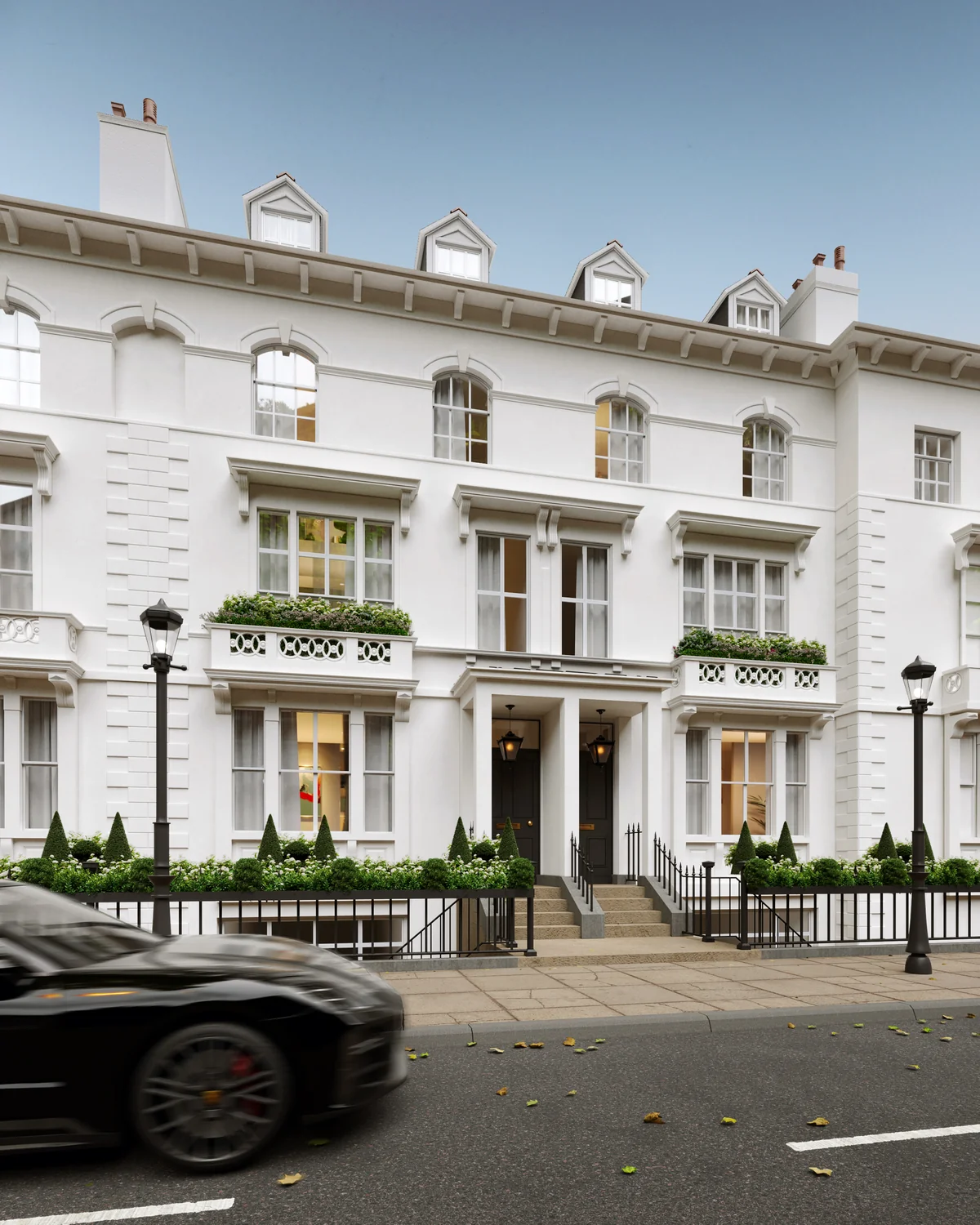
Liverpool's building stock is extraordinary in its variety — Georgian merchant terraces in the Georgian Quarter, Victorian and Edwardian townhouses across south Liverpool, and listed waterfront buildings along the Pier Head and Baltic Triangle. Whether you're an architect working on a listed building application, a developer in the Baltic Triangle, or a planning consultant dealing with Liverpool City Council's conservation team, accurate survey data is where every project starts.
A Measured Building Survey is a precise, scaled record of an existing building. Every wall, floor, ceiling, window, door and structural feature is measured and mapped accurately.
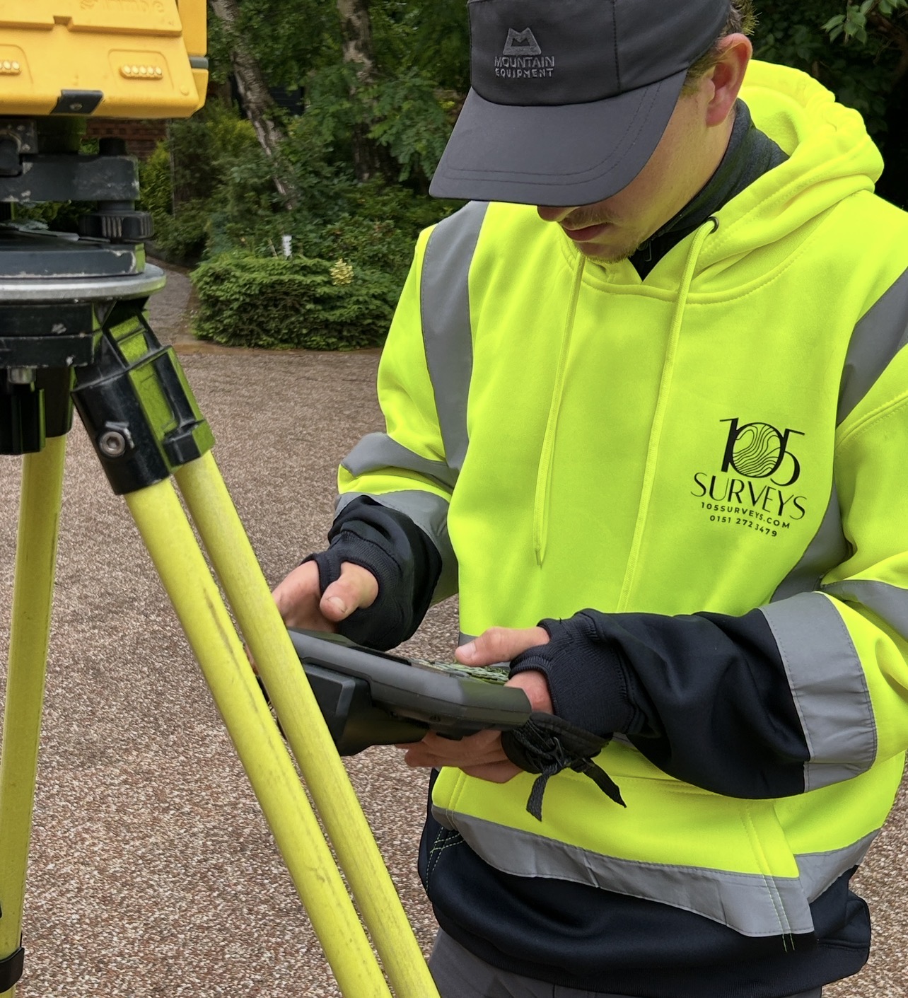
We use laser scanning technology to capture the building in detail, then produce a full set of CAD drawings. These become the base that architects work from when designing extensions, conversions or refurbishments.
Without accurate existing drawings, any new design is built on guesswork and inaccurate information. If the measurements are even slightly off, problems may occur during planning or after works have begun — which takes time to resolve, delays projects and eats into budgets unnecessarily.
Estate agent floor plans and old building records aren't accurate enough for design or planning work. Our surveys are accurate to within 2 to 2mm, which is the level architects and planning authorities require before any serious work can begin.
Liverpool's density of listed and conservation area buildings creates significant demand for precise measured survey data. Conservation officers at Liverpool City Council require detailed existing building records before any works to listed or conservation area properties are approved — and the Georgian Quarter, Rodney Street and the waterfront generate consistent instructional demand year-round. 105 Surveys delivers laser scanned measured building surveys across Liverpool, Wirral, Birkenhead, Bootle, Southport, St Helens, Crosby, Formby, Wallasey, Aigburth, Allerton, Woolton, Huyton and the wider Merseyside area, with CAD drawings delivered in days from the site visit.
Everything you need to know about our measured building survey service — pricing, timescales and who we work with.
Homeowners, architects, engineers, property developers, heritage buildings and facilities managers — find out how accurate survey data moves your project forward.
Find Out More ›Transparent pricing from £750 + VAT for residential properties. A full breakdown of what affects the cost and how to get an accurate fixed-price quote.
View Pricing ›Site visit booked within 3 working days. CAD drawings delivered within 5 working days of the site visit — often sooner.
See Timescales ›From instruction to delivery — four straightforward steps.
We'll review your project requirements, assess the site or building and provide a detailed solution and fee proposal.
Our team will visit the site and capture accurate data that will allow us to move your project forward.
The data is then processed after our site visit, and drawn up in line with your chosen formats.
The files are delivered within the agreed timeframe. With ongoing support to ensure you move forward with confidence.